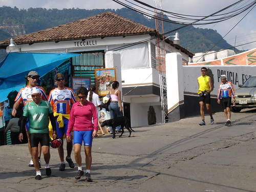
Chalma (Mexico), 25.06.06
Map Navigation: This dynamic Trackmap shows the GPS track (red line) and some geo-referenced photos (red dots) of the cycling tour. Wheel up and wheel down your mouse to zoom in or zoom out the map. Click on any point in the map to center it on that point. Or just drag the map with your mouse. To see the photos, hoover the mouse over the red dots. Click on the photo to go to the picture page.

Photoset Map
Photoset Show
GPS Track: GPX (MapSource, et al), or KMZ (Google Earth)
GPS Cycling Data:


Distance: 92 Km, Ascent: 1300 m, Time: 4:05 hr, Avg Speed: 22.8 Km/hr, Max Speed: 68.8 Km/hr


Distance: 92 Km, Ascent: 1300 m, Time: 4:05 hr, Avg Speed: 22.8 Km/hr, Max Speed: 68.8 Km/hr
Travel Report:
This ride was programmed jointly with the Tezozomoc cycling group. Unfortunately, I could start to ride with them , so I had to reach for them along the route.
As I started really late, I only reached them at Chalma, the destination ! They were eating in a restaurant and as I did not want to go to the center of the town as I didn't have shoes for walking, I waited for them in the bus station, so I could join them, at least taking the bus back home !
Thank you for reading. Till the next journey.

No comments:
Post a Comment