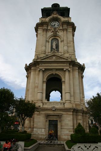
Pachuca (Hidalgo), 11.09.05
Photoset Show
GPS Cycling Data: Distance: 86.2 Km, Ascent: 518 m, Time: 4:09 hr, Avg. Speed: 20.8 Km/hr, Max. Speed: 61.2 Km/hr.
Travel Report:
This ride started at the Indios Verdes Metro terminal. From here I took the paid highway to Pachuca, passing soon the toll station.
The road to Pachuca is relatively plain, with the only inconveniences of a strong head wind, and the terrain conditions of the side lane: a lot of little stones (tezontle stones).
As soon as I reached Pachuca, I headed towards its center, where its monumental clock stands. From there, my wife (who had independently travelled from Mexico City) and I went to eat at the local market.
After our meal, we had a walking tour by the center of Pachuca. My wife previously was able to enter in the mining city museum. Her photographs of this interesting museum and of the rest of city, along with mines of the cycling road can be seen in the previously linked photoset.
Thank you reading. Till the next travel.


No comments:
Post a Comment